
![]()


Well No. NC-EWDP-1D SITE SUMMARY
Status: Exploratory Borehole (Abandoned)
Latitude/Longitude: Not surveyed
Legal Description:
Township 14S Range 48E
Section 29 NW 1/4 NE 1/4 1/4Elevation: Not surveyed
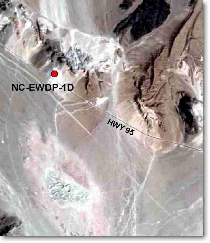
Access: Highway 95 west from Lathrop Well Junction 11.0 miles to gate on north side of Highway. Take gravel road 0.2 miles to the turn-around on the white spring deposits.
Purpose: The purpose of the NC-EWDP-1D drillhole was to 1) provide lithologic samples of spring deposits; 2) define valley-fill stratigraphic sequence and groundwater flow paths down-gradient of proposed repository; 3) provide aquifer test data; and 4) provide water level and water chemistry data.
NC-EWDP-1D was drilled to 57.7 feet and core samples were logged. Drilling was stopped at NC-EWDP-1D and the drilling operations were moved to NC-EWDP-1DX to complete the drilling objectives at this general location.